To export numeric visual step values based on specific user selected viewpoints:
- Import and set up a drawing for field analysis as normal.
- Open the ‘Field Analysis menu’.
- Chose the ‘Visual Depths to Location’ option from the ‘Space Syntax measures’ drop down box.
- Use the cursor to select locations from which to measure the visual step depths. Wait… a series of coloured visual step geometries should appear sequentially on the screen. Repeat for all desired locations.
- Select ‘Import/Export’ from the primary menu at the top left of the screen, and then ‘Export raw data’. A file dialogue box should subsequently open to allow a file to be named and saved.
- On pressing ‘Ok’ in the file dialogue, the software will export a CSV data file, with coordinate fields for all selected locations, and numeric values for visual depths from these to all coordinates within the analysis area.
- The resulting data file can be opened and reviewed in Microsoft Excel. If the original import drawing file was a .dxf or .dwg format with geo locational data, then the export data coordinates should preserve this information for aligned import into GIS interfaces.
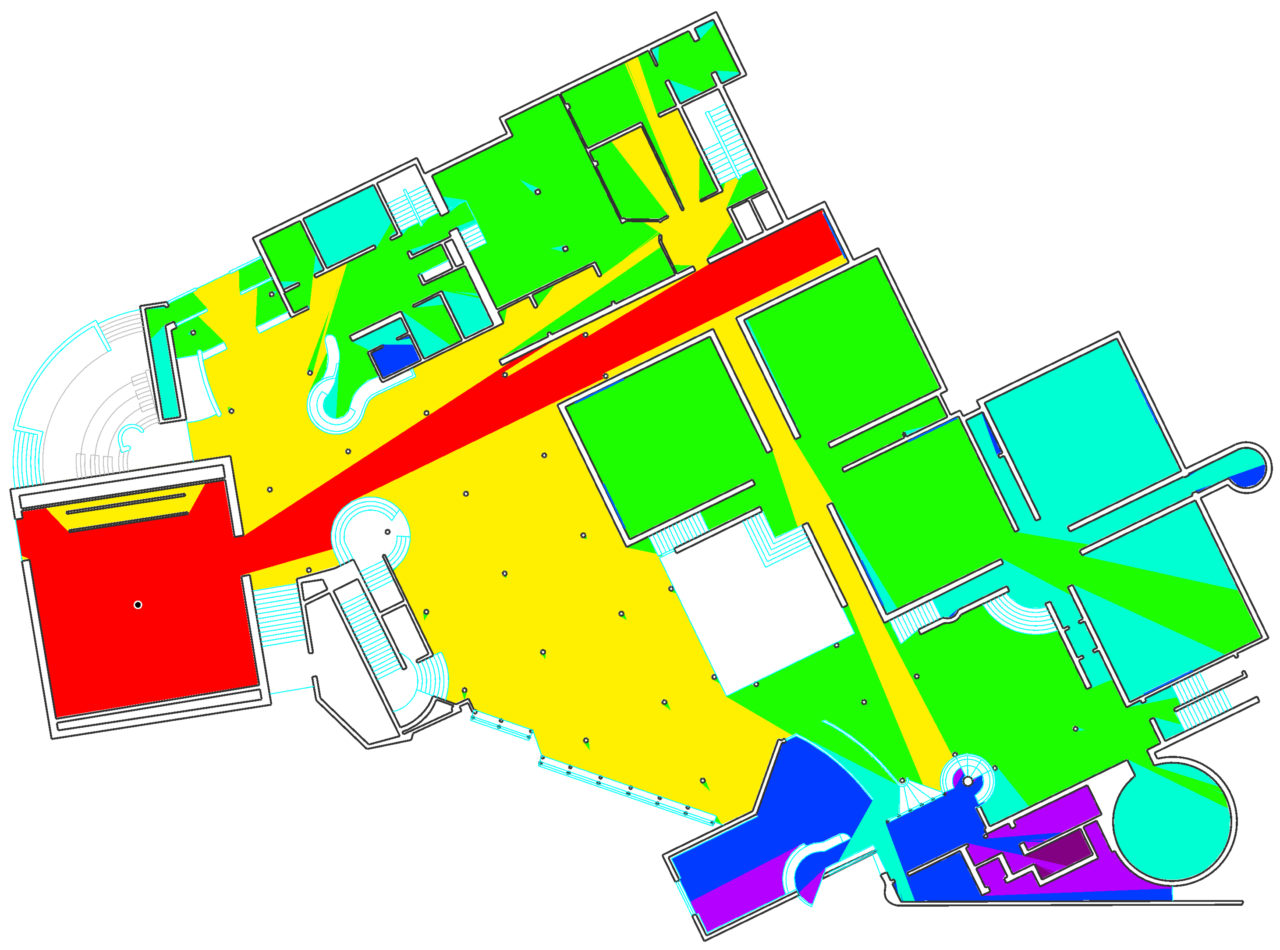
Below: A visual depth analysis of Hollein’s Monchengladbach Museum.