Above: Finding optimal routes through an area field in Mies’ Barcelona Pavilion
Once an isovist field analysis is stable, it can be used to derive optimal routes through the space, either maximising or minimising exposure to the respective field measures. To do so:
- Import and set up a drawing for field analysis as normal.
- Open the ‘Field Analysis menu’, and run the analysis in the advanced mode.
- Select a field analysis for display on screen from either the ‘Isovist’ or ‘Space Syntax’ measures options. Wait… for the data representation to reach a stable condition.
- Select the ‘Show optimal path’ option below the field threshold sliders.
- Next select either ‘seek shortest path’, ‘seek high values’, ‘seek low values’ or ‘seek least change’ from the dropdown option that appears below the optimal path toggle.
- Use the cursor to click at the path origin location in the analysis field.
- Wait… after a short calculation period, moving the cursor will draw the route from the path origin to the cursor position that best optimises the chosen parameters for the field displayed.
- Changing the ‘affinity’ slider varies the degree of compliance between the parameter set and metric distance when calculating the path route.
- Further clicks with the cursor will define new origin locations and restart the optimisation calculations.
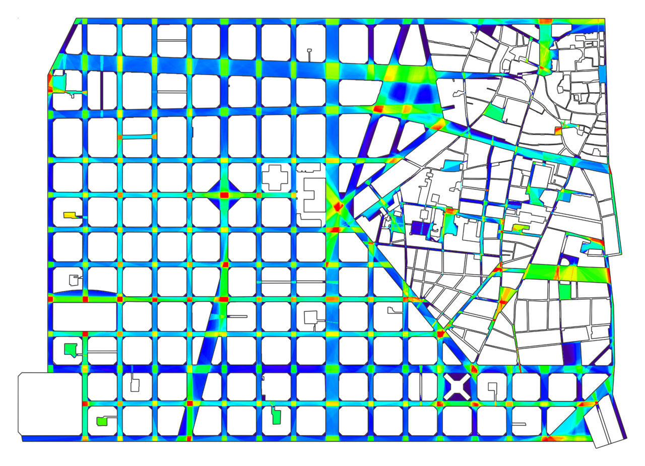
Below: A Control field in Barcelona’s grid plan